External fragmentation
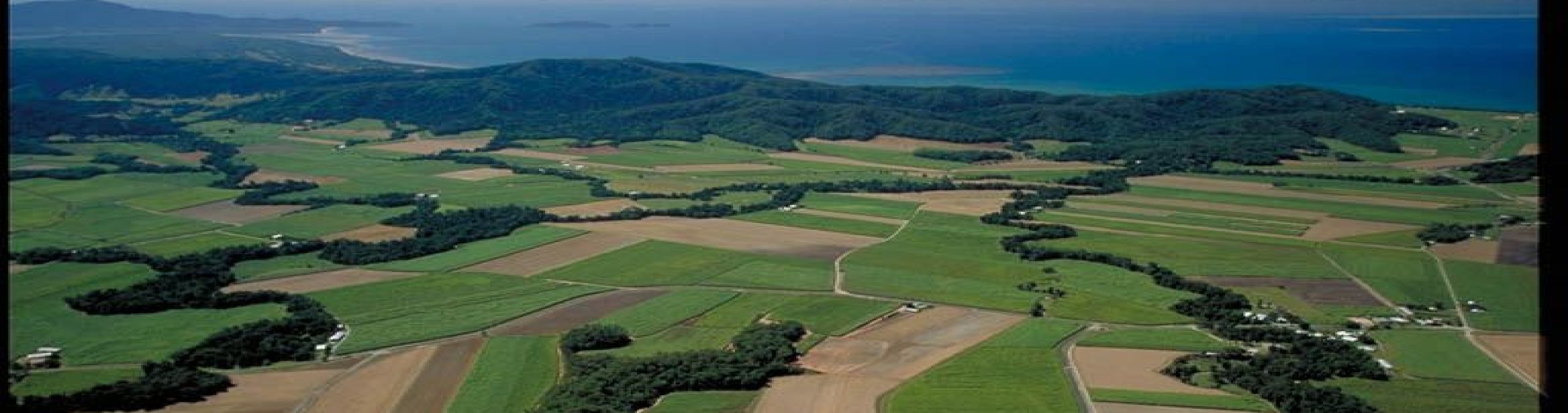
The World Heritage Area is fragmented. It is long and thin and divided into a number of segments by very narrow junctures. There are at least a dozen isolated, smaller areas and numerous narrow ‘fingers’ which stick out from the main area. The Area's boundary is about 3000km long.
The Wet Tropics rainforest has been fragmented since European settlement. Significant areas have been cleared for agriculture and urban development, particularly along the coast and on the tablelands.
This habitat fragmentation makes it difficult for plants and animals to move from one rainforest patch to another. Fragmentation can limit breeding populations and make species more vulnerable to extinction, particularly in small, isolated pockets. Fragmentation also makes the rainforest more susceptible to edge effects such as fire and invasive weeds.
It is important that we maintain existing vegetation and wildlife corridors and try to rehabilitate new corridors to allow the Wet Tropics plants and animals to move around between rainforest areas. The Wet Tropics Conservation Strategy identified and mapped important corridors for rehabiliation. These priority corridors are in the process of being updated. You can view the draft corridors and read more about ecological connectivity in the Wet Tropics in the story maps for the Terrain NRM plan.
Community tree planting groups play a very important role in repairing the forest edge and planting corridors of vegetation to link isolated fragments of rainforest. To find out more about these community groups, visit our volunteer and community groups page.
 Internal fragmentation
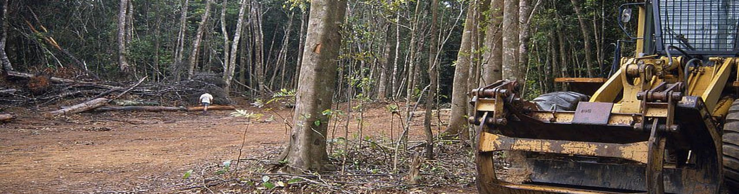
Many of the surviving patches of rainforest are criss-crossed with roads, tracks, powerlines, dams and clearings. These may act as barriers to wildlife movement, sever ecosystem connectivity, allow weed and feral animal invasion, increase roadkills and result in a range of edge effects. Internal fragmentation can also be caused by natural features such as gorges and rivers. See a map of infrastructure in the Wet Tropics World Heritage Area.
Most cleared areas are due to existing roads, powerlines and dams that were built before World Heritage listing. For example, dams cover over 2,000ha and road and powerline corridors cover 2,400ha. Roads, powerlines and dams can provide great social and economic benefits. However, as the region’s population and economy continues to grow, so do the pressures for new or upgraded community infrastructure in and around the Area.
The Authority works closely with the state government and infrastructure agencies to ensure that the integrity of the World Heritage Area is maintained. Construction and maintenance of infrastructure in the Area requires a permit from the Authority. Guidelines and codes of practice have been developed which become part of the permit conditions.
A number of new ways are being used to help wildlife cross roads and powerline corridors. For instance, rope overpasses have been built for possums so they can stay in the trees. Underpasses have been built under highways to allow animals to cross under the road. Powerlines are lifted well above the rainforest to allow revegetation under the lines. Weed control and revegetation with native plants along corridors can help allow animals to cross more easily.
Ecological connectivity in the Wet Tropics
The picture below shows a range of methods we are using to reconnect the forests and wetlands of the Wet Tropics. You can read more about ecological connectivity in the Wet Tropics in the story maps for the Terrain NRM plan.