- Wet Tropics Management
- Legislative framework
- Management partnerships
- Sustainable Tourism Plan
- Threats to the Area
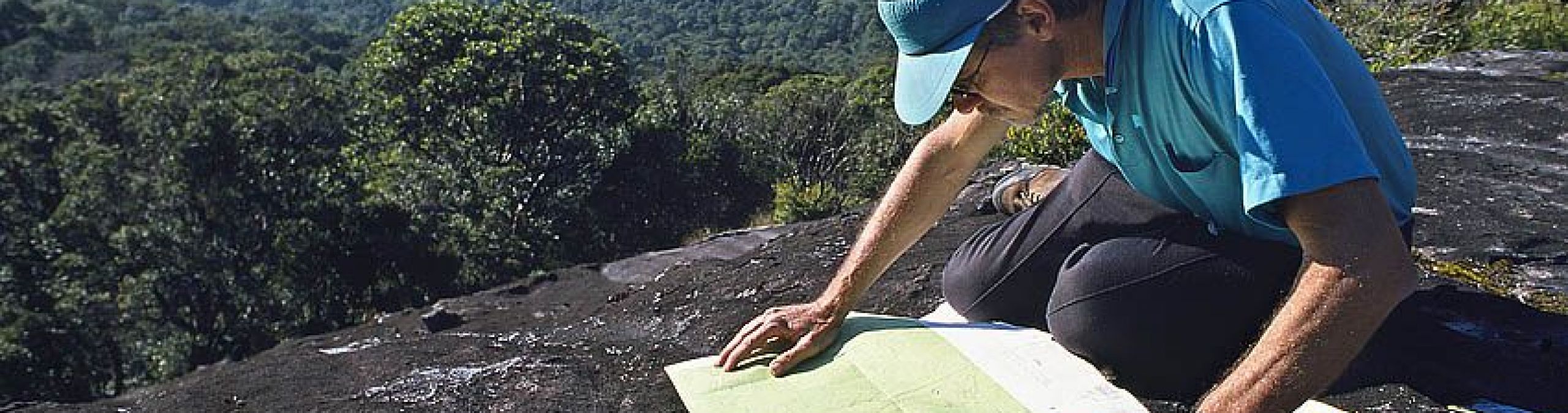
- Research and a Learning Landscape
- How can I help?
The boundary measures approximately 3,000km and stretches for about 420km between Cooktown and Townsville. More than 2,500 properties neighbour the World Heritage Area.
See
the boundary mapsheets page for the official boundary maps of the Wet
Tropics of Queensland World Heritage Area.
The boundary of the Wet Tropics of Queensland World Heritage Area is now available digitally, for download, in the Queensland Spatial Catalogue and can be viewed in Queensland Globe planning cadastre layer.

On 15 December 1988, the Commonwealth of Australia Gazette proclaimed the finalised boundary containing an area of about 8,990km2 for the Wet Tropics of Queensland World Heritage Area. The Queensland Department of Mapping and Surveying published the 1:100,000 cadastral map series from transparencies made by the Australian Surveying and Land Information Group.
A six month public review undertaken in 1987 eliminated a number of elements that did not significantly contribute to the overall values of the site. This included some freehold land, recently cleared land, some eucalypt forests, and areas with exotic plantations.
In 1988, the Department of the Arts, Sport, the Environment, Tourism, and Territories carried out another boundary review and submitted a report outlining an amended boundary to the World Heritage Committee Secretariat in September.
This review resulted in minor trimming, essentially confirming that, from a scientific point of view, the previous boundaries were basically correct. Two major areas considered for excision under the review (Mount Windsor and Paluma) remained, as both areas contribute substantially to the nomination. A total of 67 smaller areas were studied in depth with the conclusion that 28 were retained, 31 were excised, and 8 new areas were added.
The Wet Tropics Management Authority developed a more detailed description of the final boundary on newly created 1:50,000 scale plans in 1991-92, referred to as WTQ maps. These plans do not alter the alignment of the gazetted boundary, they merely provide a clearer and more detailed description of the boundary. They were formally approved by the Wet Tropics Ministerial Council and accepted by both Commonwealth and State Governments on 14 October 1992. They were then lodged with UNESCO in Paris. Whilst the final boundary for the Wet Tropics of Queensland World Heritage Area was proclaimed as about 8,990km2 (about 899,000ha), a more precise figure based on modern mapping techniques is 894,516.028ha.
WTQ maps were used as a basis to form zone boundaries and maps developed for the Wet Tropics Management Plan 1998. These were produced in May 1998 and do not affect the description or definition of the Wet Tropics of Queensland World Heritage Area boundary.
See a chronology of the Wet Tropics of Queensland World Heritage Area for more details.
 Boundary issues
The areas included within the current World Heritage Area boundary were based on available scientific, cadastral and topographic information, and influenced by prevailing political and community attitudes at the time that the listing was being hotly contested. As a result there remain a range of management problems and anomalies:
From both a conservation and management perspective, it is preferable to use biological and landscape information as the basis for delineation of natural boundaries. The Wet Tropics Board supports a review of the World Heritage Area boundaries. The Board and Traditional Owners have also indicated support for a renomination of the Area based on cultural values. A successful cultural renomination of the area may also result in boundary changes. However, any major change to the World Heritage listing or World Heritage Area boundaries can only be achieved through a renomination of the entire area to the World Heritage Committee by the Australian Government.
