
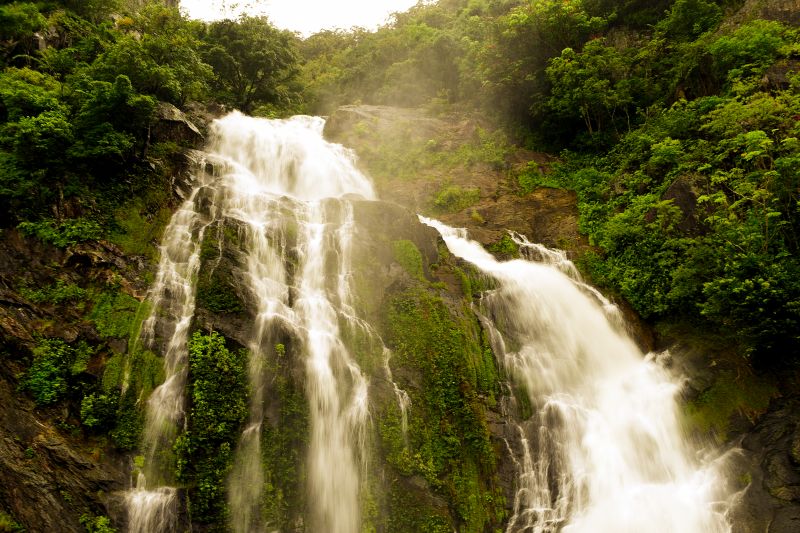
Discover one of the world’s oldest continuously surviving tropical rainforests and experience the remarkable diversity of the Wet Tropics World Heritage Area. Stretching 450km along Queensland’s tropical coast, the Wet Tropics offers ancient rainforests, spectacular waterfalls, scenic drives, walking tracks, camping areas, abundant wildlife and rich cultural experiences.
To help you explore this extraordinary landscape, the Wet Tropics has been divided into five regions. Together, they span the Country of more than 20 Rainforest Aboriginal groups and includes national parks and forests, private land and other public lands.
Whether you're seeking adventure, relaxation or a deeper connection with nature and culture, each region offers something unique. Visit our Visitor information page for links to regional tourism organisations, visitor information centres, national parks and cultural experiences.
Choose your own adventure
| If you are looking for... | Explore... |
|---|---|
| Daintree rainforest and Cape York getaway | Northern Wet Tropics |
| Waterfalls and crater lakes | Tablelands Wet Tropics |
| Rainforest close to the city | Cairns and Kuranda |
| Adventure and cassowaries | Central Wet Tropics and Cassowary Coast |
| Towering waterfalls and quieter escapes | Southern Wet Tropics |
Northern Wet Tropics
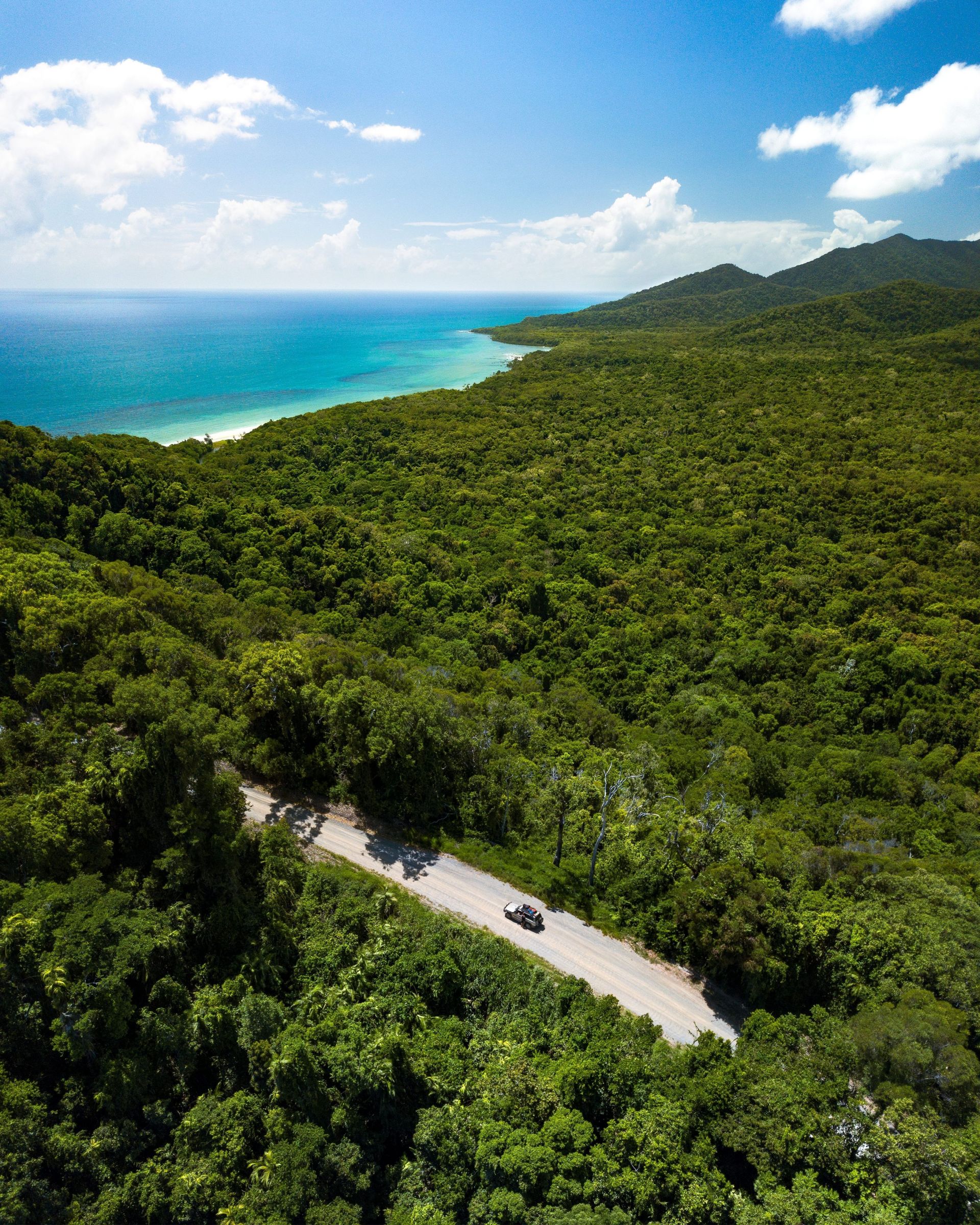
From Ellis Beach to Cooktown, the Northern Wet Tropics offers spectacular rainforests and a peek into the rugged and remote landscapes of Cape York.
The magnificent Great Barrier Reef Drive hugs the undulating coastline with a mountainous backdrop and coastal vistas. The scenic Bloomfield Track—catalyst for the historic Daintree blockade—is more challenging, with very steep ranges and natural creek crossings making it suitable only for 4WD vehicles.
The Daintree is home to the first Wet Tropics national park to be jointly managed with its Traditional Custodians. The Eastern Kuku Yalanji People and QPWS collaborate to protect the cultural and environmental significance of Daintree National Park (Cape York Peninsula Aboriginal Land) while promoting sustainable tourism.
Tablelands Wet Tropics
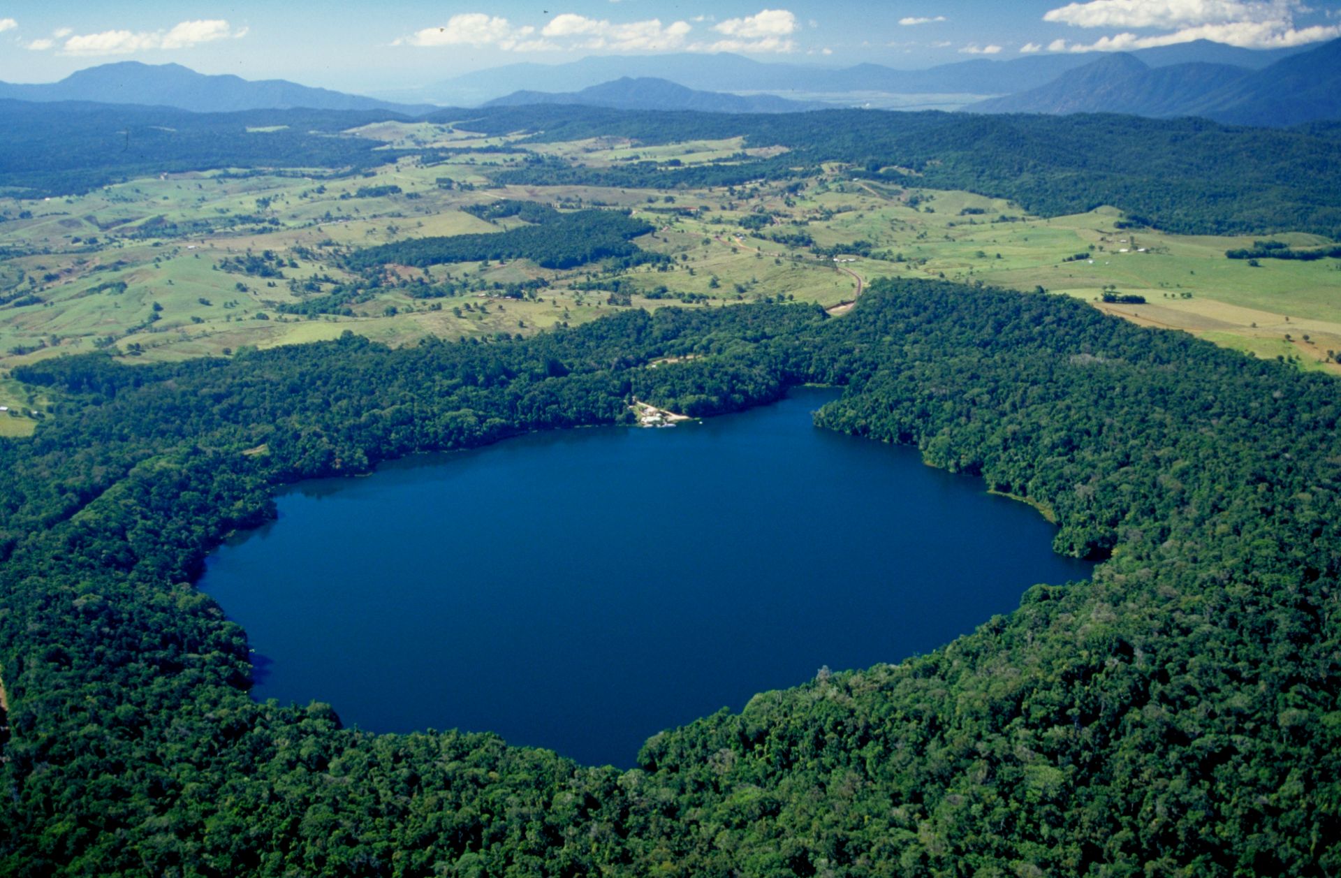
Also known as the Cairns Highlands, including the Atherton and Evelyn tablelands, this region is well known for its iconic fig trees, waterfalls, and crater lakes. Its higher altitude delivers a much cooler climate, which provides respite for many mountaintop species. Getting there is an adventure via roads that weave through a mosaic of rainforests and woodlands up the steep mountain range.
Many visitor sites and museums showcase the Tablelands Wet Tropics' mining, logging, and agriculture history and its importance during World War II.
An extraordinary volcanic past, which produced the rich basalt soils where critically endangered mabi forests once thrived, is evident with features like the Mount Hypipamee crater. At Big Millstream Falls (reputedly Australia's widest single-drop waterfall), on the western edge of the Wet Tropics bioregion, three separate lava flows are visible.
Cairns and Kuranda
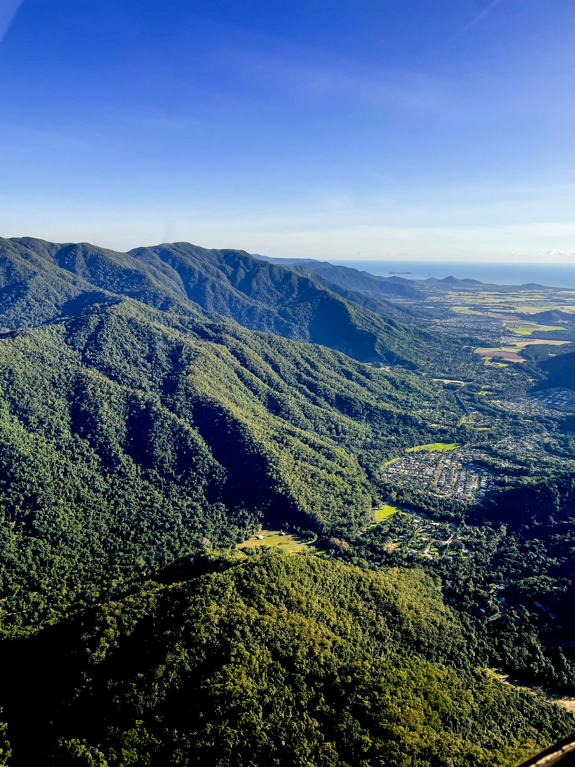
Flowing streams, waterfalls and gorges etch their way through the lush backdrop of the tropical city of Cairns. This tourism hub delivers an enormous range of tours and services, and provides easy access to rainforest-cloaked mountains, secluded swimming holes, and the Great Barrier Reef.
Cairns and the village of Kuranda are connected by the Kuranda Scenic Railway, Skyrail Rainforest Cableway, and the Kuranda Range Road. Kuranda is known as the village in the rainforest, where Din Din (Barron Falls) and its sheer gorge are a highlight, especially in the wet season when the river is in flood.
To the west, rainforests give way to woodlands where Davies Creek offers camping, bushwalking and mountain biking. In nearby Bare Hill Conservation Park, Bunda Bibandji presents a unique opportunity to view rock art in the Wet Tropics—an experience to appreciate and respect.
Central Wet Tropics and Cassowary Coast
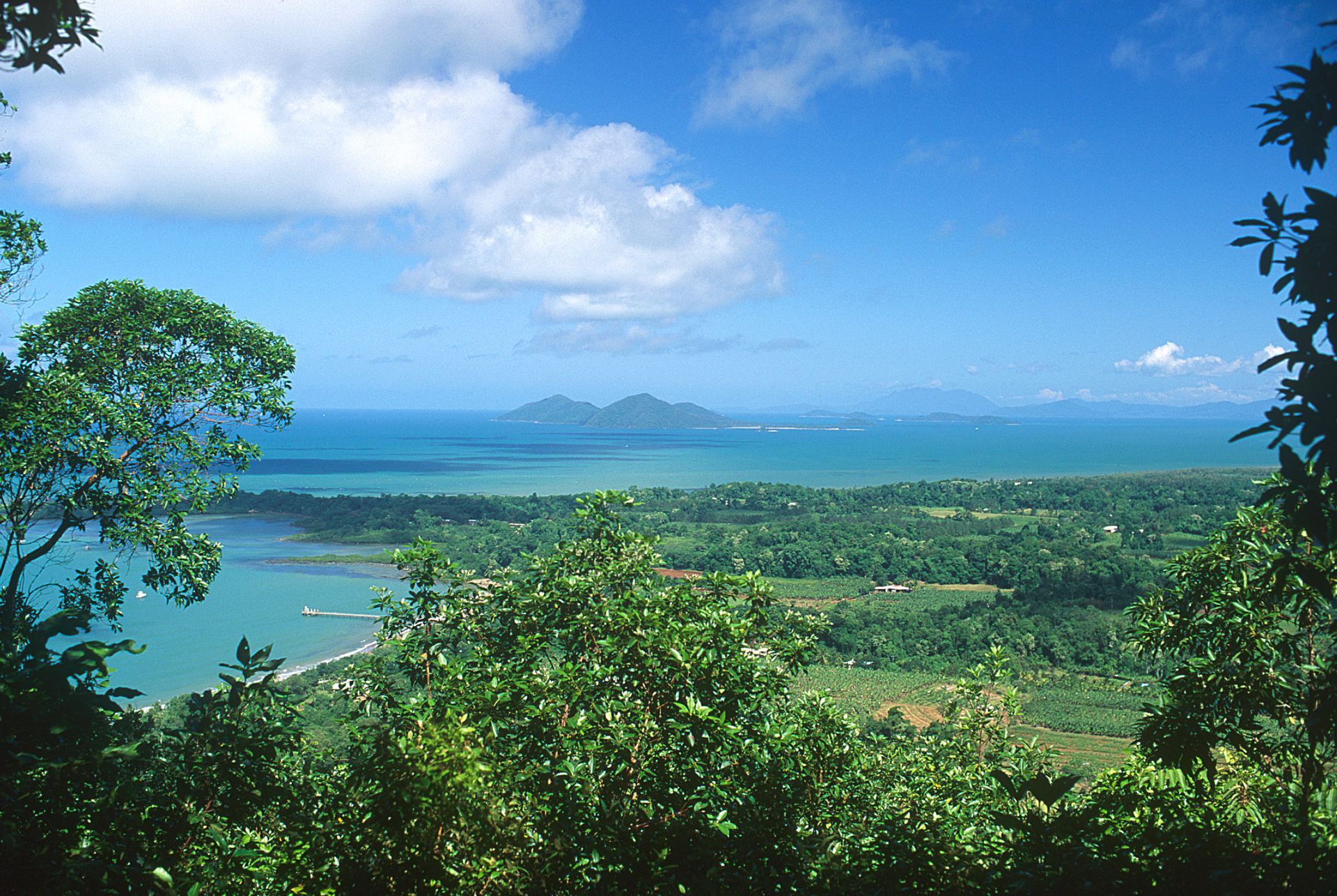
This region contains the largest parcel of the Wet Tropics World Heritage Area and includes Queensland’s two highest mountains: the mist-shrouded Bartle Frere and Bellenden Ker. There are short and long distance trails for walkers and mountain bikers, as well as scenic drives including the Kirrama Range Road and Cardwell Forest Drive.
The lush green coastline is the wettest in Australia, receiving as much as four metres of rain each year, so waterfalls and swimming holes abound. The rapids of the Tully River are world-renowned for white-water rafting.
Many visit the area specifically to see a southern cassowary, with Mission Beach and Etty Bay well-known hotspots. Observing these iconic birds can be an amazing experience, but mutual safety is paramount. Always be 'cass-o-wary': drive with care, give them space, and never feed cassowaries.
Southern Wet Tropics
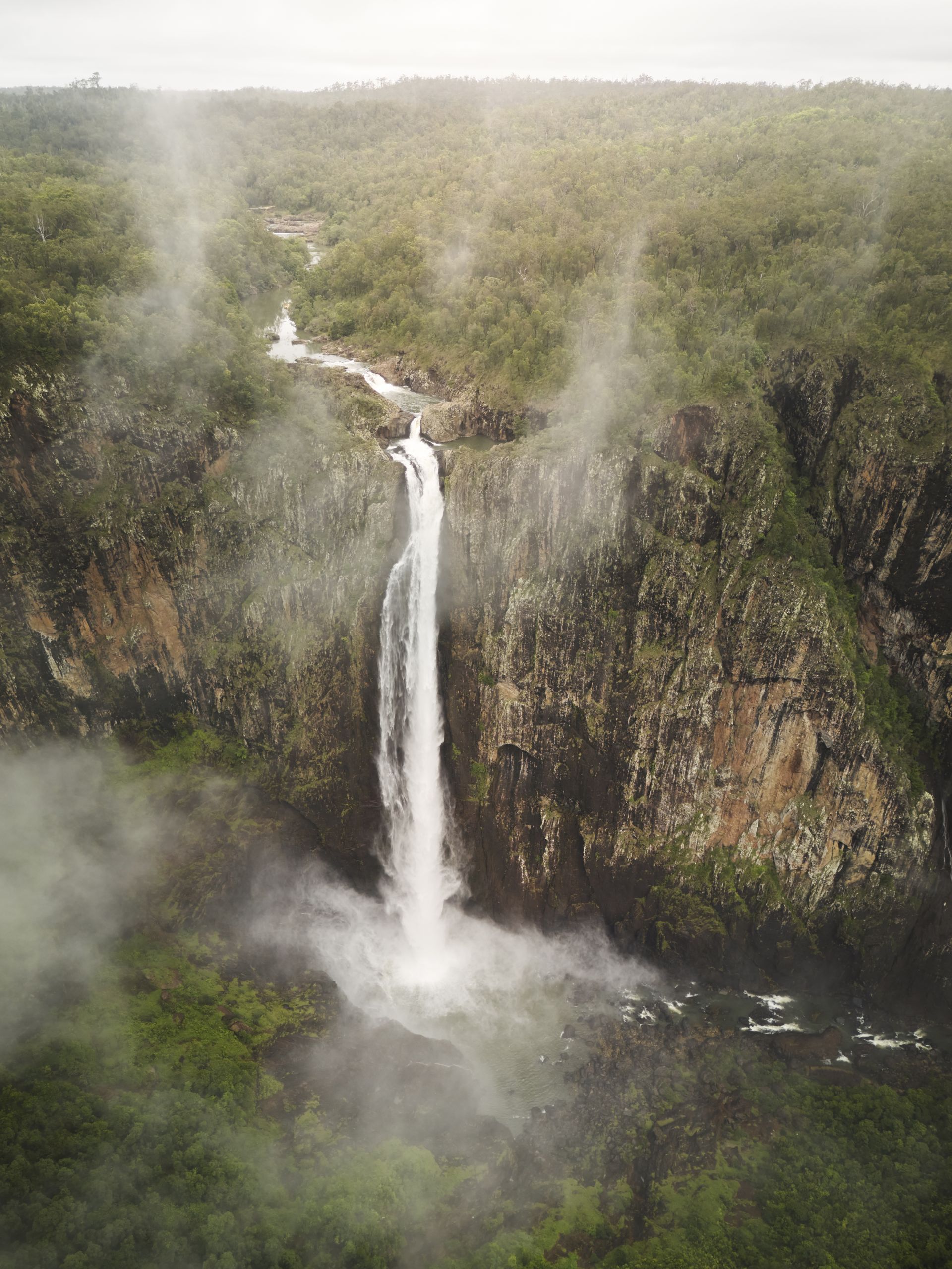
The city of Townsville stands as the southern gateway to the World Heritage Area. The Southern Wet Tropics is typically drier than the north, dominated by magnificent stands of tall eucalypt forest and dry tropical open woodlands. Rainforests shroud the tops of the rugged ranges looming above the coastal plain.
Wallaman Falls—Australia’s highest single-drop waterfall—and Jourama Falls are key landscape features. Nestled at the crest of the coastal range is Paluma, known as the village in the mist. The area is popular for rainforest walks and spectacular views. To the west, the ancient volcanic crater of Mount Fox protects small patches of vine-thicket rainforest.
Wherever your journey takes you, you'll discover extraordinary landscapes, remarkable wildlife and the enduring connection of Rainforest Aboriginal Peoples to Country.
Last updated: 13 Oct 2026