
World Heritage boundary
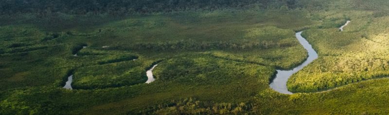
The Wet Tropics World Heritage boundary defines the legal extent of the Wet Tropics World Heritage Area (the Area). It identifies land which is included in the World Heritage listing.
The Area extends approximately 420km from west of Townsville to just south of Cooktown but the boundary itself measures around 3,000km. More than 2,500 properties neighbour the Area.
Boundary map sheets show the boundary detail. The boundary is also depicted on the zoning map. The official boundary is found in the location description of the Wet Tropics World Heritage listing in the Australian Heritage Database.
History of the boundary
For a summary of the significant events surrounding the World Heritage listing and finalisation of the boundary please see Chronology of the protection and management of the World Heritage Area (PDF, 553KB).
Last updated: 13 Oct 2026