
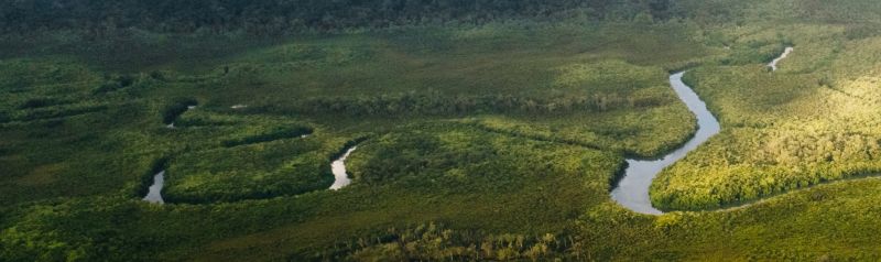
The maps below are the official boundary maps for the Wet Tropics of Queensland World Heritage Area (the Area). They define where the Area begins and ends and are used for planning, management and research purposes.
Select a map sheet name or map grid area to download the map sheet.
- Map 1 : Helenvale (PDF, 488KB)
- Map 2 : Shiptons Flat (PDF, 418KB)
- Map 3 : Ayton (PDF, 757KB)
- Map 4 : Adeline Creek (PDF, 465KB)
- Map 5 : Thornton Peak (PDF, 1MB)
- Map 6 : Mount Spurgeon (PDF, 471KB)
- Map 7 : Mossman (PDF, 851KB)
- Map 8 : Rumula (PDF, 839KB)
- Map 9 : Macalister Range (PDF, 625KB)
- Map 10: Kuranda (PDF, 1MB)
- Map 11: Cairns (PDF, 350KB)
- Map 12: Tinaroo (PDF, 971KB)
- Map 13: Gordonvale (PDF, 940KB)
- Map 14: Atherton (PDF, 546KB)
- Map 15: Bartle Frere (PDF, 856KB)
- Map 16: Cooper Point (PDF, 903KB)
- Map 17: Millaa Millaa (PDF, 851KB)
- Map 18: Mena Creek (PDF, 773KB)
- Map 19: Innisfail (PDF, 657KB)
- Map 20: Tully Falls (PDF, 616KB)
- Map 21: Tully (PDF, 747KB)
- Map 22: Clump Point (PDF, 537KB)
- Map 23: Kirrama (PDF, 506KB)
- Map 24: Bilyana (PDF, 656KB)
- Map 25: Black Burdekin River (PDF, 410KB)
- Map 26: Mount Graham (PDF, 573KB)
- Map 27: Cardwell (PDF, 580KB)
- Map 28: Wallaman Falls (PDF, 569KB)
- Map 29: Ingham (PDF, 408KB)
- Map 30: Mount Spec (PDF, 569KB)
- Map 31: Paluma (PDF, 421KB)
- Map 32: Rollingstone (PDF, 532KB)
The Wet Tropics Plan Zoning Map provides detailed and interactive digital mapping that shows both the Area’s boundary and zoning.
Last updated: 13 Oct 2026