
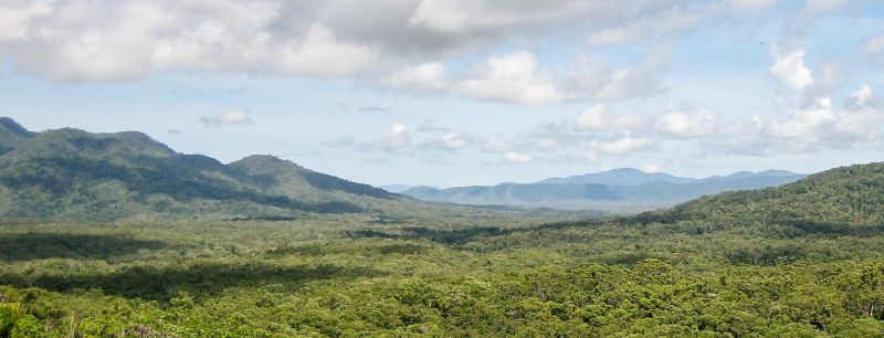
The Wet Tropics vegetation mapping identifies 250 distinct vegetation communities across the Wet Tropics bioregion based on their structural and floristic characteristics. These are grouped into seven broad vegetation communities.
- rainforests
- sclerophyll and sclerophyll rainforest transitions
- sclerophyll forests and woodlands
- vegetation complexes and mosaics
- shrublands and heathlands
- non-woody vegetation
- mangroves
Explore the vegetation maps
The Wet Tropics vegetation mapping comprises a series of maps at a scale of 1:50,000. Each map describes vegetation communities, including vegetation structure based on dominant canopy trees, as well as canopy height, macroclimate, topography and geology.
Select a map below to explore the vegetation of the Wet Tropics bioregion.
About the mapping
The Wet Tropics vegetation mapping is not statutory mapping, rather it is a fine scale, localised mapping system developed specifically for the Wet Tropics bioregion. In contrast, Regional Ecosystem (RE) mapping is a broader, standardised statewide framework developed by the Queensland Government, which classifies ecosystems based on geology, landform, and dominant canopy species.
Last updated: 13 Oct 2026