- Wet Tropics Management
- Legislative framework
- Management partnerships
- Sustainable Tourism Plan
- Threats to the Area
- Research and a Learning Landscape
- How can I help?
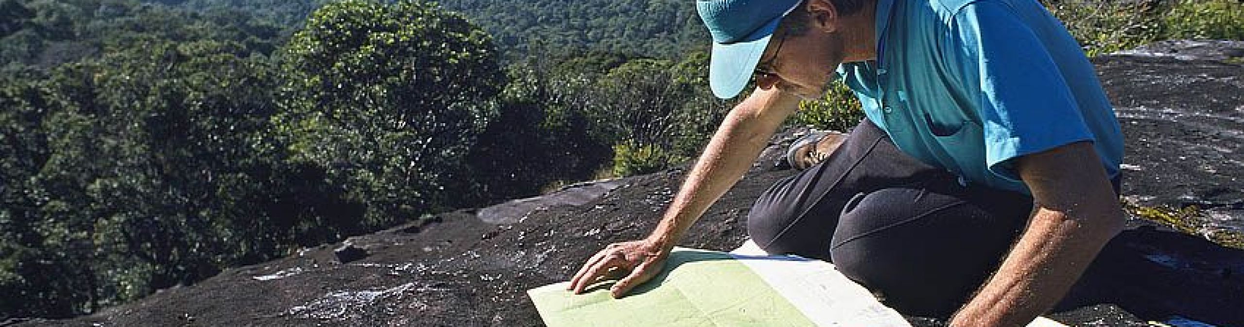
The Wet Tropics is a hugely varied and interesting place - rugged mountain ranges, gorges and rivers, wetlands, rainforests, towns, roads and beaches.
You can find maps of many different aspects of the Wet Tropics World Heritage Area and its management, including boundaries, zoning, and vegetation. Navigate our maps with the horizontal menu above.
Please click on the boxes to turn fields on and off. The legend on the left will change accordingly.
|
Towns Roads World Heritage Boundary Wet Tropics Bioregion Coastline World Heritage Area Zoning Vegetation World Heritage Area Ocean Satellite
|


|


