- Wet Tropics Management
- Legislative framework
- Management partnerships
- Sustainable Tourism Plan
- Threats to the Area
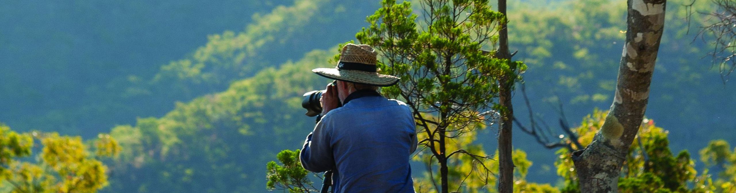
- Research and a Learning Landscape
- How can I help?


Blencoe Falls is a spectacular three tiered waterfall which cascades 300 metres down into the Herbert River Gorge below. Situated in the drier savanna woodlands, hoop pines grow on the rocky outcrops around the falls. Take the right hand fork and walk about 400 metres to the edge of the Herbert River Gorge. There are superb views here before you head steeply down into the gorge on a very rough track to the confluence of Blencoe Creek and the Herbert River. Here can find a safe rock pool to swim in and gain a different perspective on the falls from below.
The Juwun walk starts at Blencoe Falls and follows the Herbert River downstream to Yamanie. Allow 4 to 6 days to complete the Juwun walk. Beyond Blanket Creek, no bush camping sites have been identified. There is no designated walking track in the gorge. The walk passes through the traditional lands of three Aboriginal groups - the Warrgamay, Warungnu and Girramay. All of the Wet Tropic Great Walk tracks have been given language names by the Traditional Owners. They hope you will enjoy the walk and respect this sacred place. The walk may be closed during the wet season, between September and May. Additional closures may occur for management purposes including weed and feral animal control programs.
From Blencoe Falls to Blanket Creek (10.5km), wind your way through 9km of open forest before you reach the escarpment. This countryside may appear dry and desolate, but it offers a lot to see. Look for emus and kangaroos resting from the heat and listen for laughing kookaburras or screeching sulphur-crested cockatoos. This country is rugged and one of extremes. During the dry season, the land is parched and vulnerable to fire. Grasses die back and some trees lose their leaves, giving the appearance of a dying landscape. With the arrival of the wet season, the countryside is inundated with water and the plants spring back to life. About 4km along the walk, a side track leads you to the top of the ridge. Take a break and enjoy the sensational views through the gorge.
The track then winds its way to the top of the escarpment above Blanket Creek before dropping steeply onto the banks of the Herbert River. This is the Blanket Creek bush camp, your home for the night. Beware! As refreshing as a dip may appear, do not swim, as the river is home to estuarine crocodiles.
Not far from Blanket Creek on the way to Smoko Creek (5.5km) there is a long series of shallow rapids with large, tall, rocky outcrops. This challenging stretch of river is affectionately named the Rock Garden. It got its name from the many canoeists that it has caught out. Walls of rock over 100m high line both sides of the gorge. Through the middle runs the river, the centre of life in the gorge. It provides a permanent source of water for wildlife. Melaleucas and blue gums frame the point where the seasonal Smoko Creek runs into the Herbert River from the north-east. At the junction, boulders that are metres high are scattered across the river. From Smoko Creek to the Big W, the river straightens. Along the southern bank, large open flats are broken by a number of dry creek beds running into the Herbert River. Keep watch for bird life such as shags, cormorants and sulphur-crested cockatoos. Sea eagles and falcons also reside in the gorge. Just when you think that this straight stretch of river will go on forever, you reach a large bend.
This is the start of the Big W. Here, the gorge walls have closed in again. From Big W to Yamanie Creek (10km) there is a marked change in vegetation. Along most of the river, she-oaks scattered with bottlebrush, figs and sarsparilla line the riverbanks. In the Big W, stands of paperbarks start to appear. On the southern side of the river, there are large flats of couch grass. After rain and grazing by cattle, the grass looks like a manicured lawn. Yamanie Creek runs into the Herbert on the northern side of the river. The mouth of the creek is almost hidden from view. Take a detour to the spectacular Yamanie Falls. It should take you about 1.5hrs to walk the 1.8km stretch along Yamanie Creek to the falls.
From Yamanie Creek to Orange Tree (5.5km) A bluff on the southern side of the river, opposite the mouth of Yamanie Creek, is impassable. Just south of Yamanie Creek, the river splits into two, forming a lagoon on the northern side. Generally, the easiest walking is on the northern bank of the river. Cross back to the southern side at the rapids, just before the lagoon returns to the river. Beyond the lagoon, there is a long stretch of river. After the junction, where the seasonal Herkes Creek runs into the Herbert River, there is a distinctive rocky bend filled with rapids. The river then straightens into a second long pool before reaching another set of rapids. To connect with the remainder of the track, ensure you cross to the southern bank of the river at the top of these rapids.
To go from Orange tree to Yamanie (7km), follow the walking track through open forest along the banks of the Herbert River. Keep your eyes and ears open for resident wildlife. Listen for the noisy chatter of scaly-breasted lorikeets or the deep, gruff call of the wompoo fruit-dove. Small gullies are scattered throughout the open forest. If you look carefully, you might catch a glimpse of the brilliant blue Ulysees butterfly or forest kingfisher as they seek sanctuary from the heat. This country is special. It is the western boundary of the mahogany glider habitat. Only recently re-discovered by science, the mahogany glider is an endangered species with only a tiny part of its habitat remaining.
The track winds back round to the Herbert River, where you must cross one last time. Resident crocodiles live in this part of the river. Always remain on the track and only cross the river at the marked location. Avoid travelling along the bank near sections of deep water as crocodiles may be encountered in dense grass and shrubs. Over the last 2km, rainforest plants such as quandongs, candlenut and figs slowly merge into the open forest, eventually closing the canopy. You will appreciate the shade and the cooler temperatures to finish your walk. This area was used extensively for grazing cattle by previous land managers.
Juwun Walk runs between Blencoe Falls and Wallaman Falls. To reach Blencoe Falls, turn inland off the Bruce Highway at Kennedy, 10 kilometres north of Cardwell. Follow the bitumen for 7 kilometres and then turn right onto the gravel road signposted Kirrama. There are several waterfalls and lookouts along the 40 kilometre drive through the rainforest where you may wish to stop, as well as the Kirrama Society Flats walk with 600 year old rose gums. Upon leaving the rainforest you will travel 10 kilometres through open woodlands to the Kirrama Station/Mt Garnett turnoff. Turn left here, cross a grid and follow the signs to Blencoe Falls. Wallaman Falls is 51 kilometres drive from Ingham, including 30 kilometres of unsealed road. Normal travel time is about an hour each way. Travel 8 kilometres west of Ingham to Trebonne and turn left. Follow the signs to Wallaman Falls, over the Stone River and up the coastal range. The road climbs steeply up the range and is slippery when wet. Caravans and trailers are not recommended. Cassowaries are sometimes seen in the rainforest sections, so please drive carefully. The lookout and the campground are about 2 kilometres apart on different forks of the road near the falls.
If you would like more information about Juwun Walk:
Visit the NPRSR webpage for the Wet Tropics Great Walk where you can book campsites and check closures.
